
Lighthouse Series - Stage 2
North Central Basin
Point No Point
Point No Point Light
← 17.8 mi / 28.7 KM →

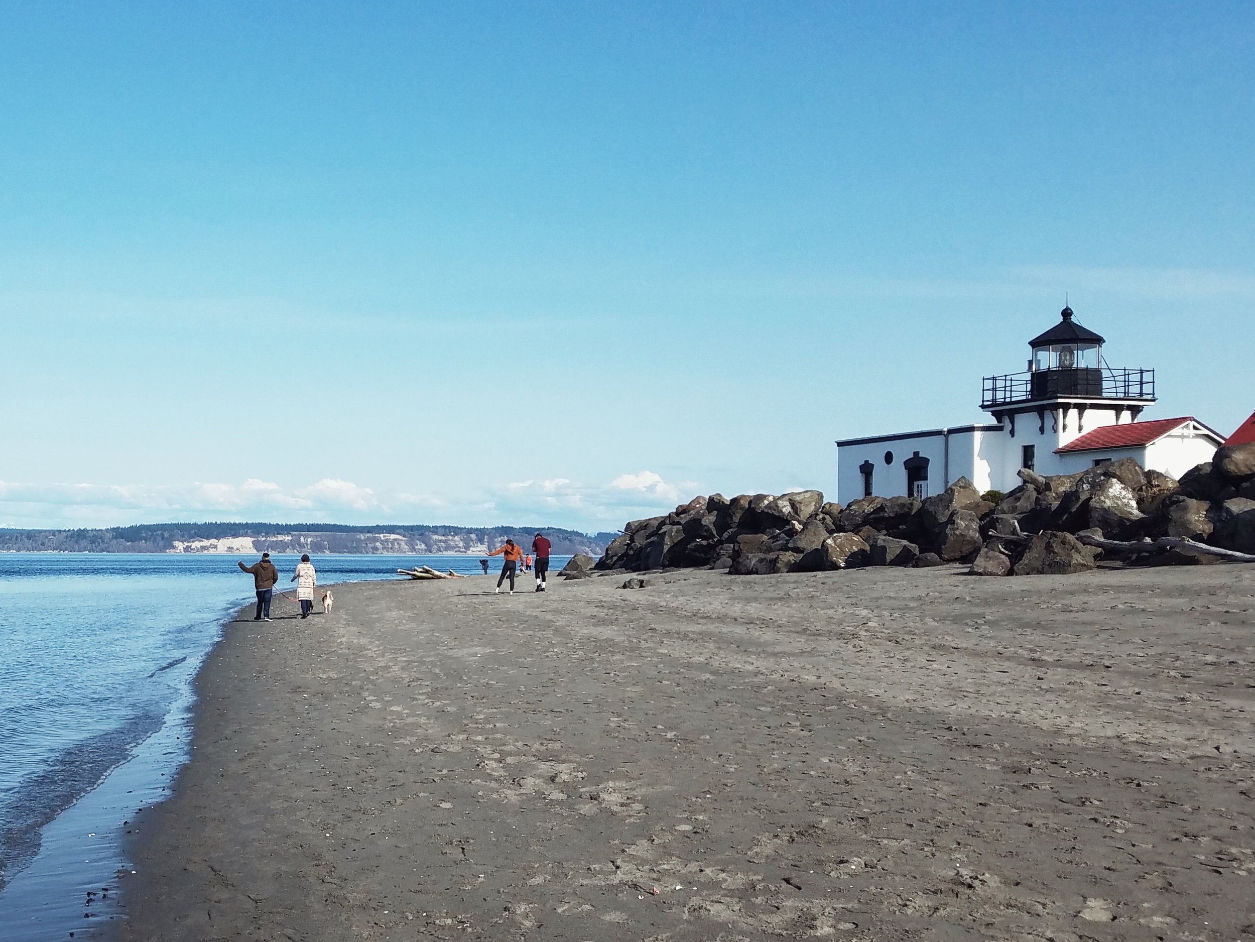
West Point

West Point Light, Seattle
From NOAA Coast Pilots
Point No Point on the west shore of the sound about 3.5 miles southeast of Foulweather Bluff, is a low sandspit. Point No Point Light (47°54'44"N., 122°31'37"W.), 27 feet above the water, is shown from a 20-foot white octagonal tower on the end of the point.
Apple Cove Point is a low sandspit projecting 220 yards from the high, wooded land of the peninsula. The point is steep-to, but a shoal makes out nearly 0.5 mile southeast from it. Just off the point is a light. Heavy tide rips caused by strong northwest winds and a strong ebb current are encountered in the vicinity of the light.
A microwave tower on the high ground about 0.6 mile southwest from Apple Cove Point Light, is prominent from offshore.
Appletree Cove is the open bight on the west side of the sound about 1.5 miles south of Apple Cove Point. It affords anchorage in 30 to 60 feet inside the line of the entrance points, with some shelter from winds drawing in or out of the sound, but not from north and southeast.
Kingston a town on the north side of the cove, has a large, well-equipped small-craft basin, a 420-foot long fishing pier, and a pier with a ferry slip at its end. The ferry runs between Kingston and Edmonds. The basin is used by tugs, fishing boats and pleasure craft. The harbor is protected by a stone breakwater that extends about 340 yards southwest from the ferry pier; the end of the breakwater is marked by a light. Services available include: electricity, gasoline, diesel fuel, water, ice, pump-out facility, surfaced launch ramp and marine supplies. The marina has space for 262 small-craft including about 49 transient berths.
Shilshole Bay is between Meadow Point and West Point. It is an open bight from which the Lake Washington Ship Canal is entered, and is the site of the largest marina in the Seattle area. Clay cliffs extend for about 0.5 mile south of the canal entrance. Golden Gardens Park, Seattle Department of Parks and Recreation is north of the marina and extends up to and includes Meadow Point.
West Point at the north entrance to Elliott Bay, is a low, sandy point which rises abruptly to an elevation of over 300 feet 0.5 mile from its tip. The edge of the shoal extending west-southwest from the point is marked by a lighted buoy. West Point Light (47°39'43"N., 122°26'09"W.), 27 feet above the water, is shown from a 30-foot white octagonal tower attached to a building on the end of the point. Prominent in the area are the sump tanks of a sewage treatment plant about 0.1 mile east of the light, a VTS antenna tower between the plant and the light, and a large white dome about 1 mile east-southeast of the light.